
A US states visited map, filled from your photos.
See every state you've been to on the same map as your countries. maplog finds them in your photos or Google Maps Timeline, and shows how much of the US you've explored.


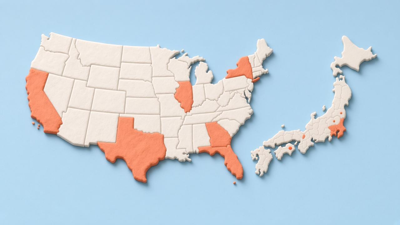
All 50 states, plus DC
maplog splits the United States into its 50 states and the District of Columbia. Tap a state to add it, or let a photo scan find them: every photo with a location tag says which state it was taken in.
Open the United States and you get its own page: how many states you've visited, how many are left to explore, an Explored percentage, and how many cities you've been to.
How to fill your states map
- Download maplog and unlock maplog pro (one-time purchase).
- Scan your photo library. With maplog pro the scan finds states and cities, not just countries.
- Or import Google Maps Timeline for years of road trips at once.
- Review the list, keep what's right, and tap any state the scan missed.
States and countries on one map
Most states maps stop at the US border. maplog keeps your states inside your world map, so a road trip through Utah and a weekend in Lisbon show up in the same place. Regions work the same way everywhere: Canadian provinces, Mexican states, Japanese prefectures, French departments, and thousands more.
Get asked when you cross a state line
Turn on travel alerts and maplog notices when you arrive somewhere that isn't on your map yet. With maplog pro that includes new cities, which also fill in their state. Your position is checked on your phone and never stored or uploaded.
Pay once, keep it
Countries are free. States, cities, the 3D globe and Timeline import come with maplog pro, a one-time purchase. No subscription, no renewals.
Questions
How do I make a map of the US states I've visited?
Install maplog, unlock maplog pro, then scan your photos or tap the states you've been to. The scan reads each photo's location tag on your phone and suggests the states and cities it finds. You keep or skip each one before it goes on the map.
Does it include Washington, DC?
Yes. maplog lists the 50 states and the District of Columbia, 51 in all, and counts how many of them you've visited.
Can I see states and countries on the same map?
Yes. States sit inside the United States on your world map, next to every country you've visited. The same works for Canadian provinces, Mexican states, Japanese prefectures and thousands of other regions.
Is the states map free?
Countries are free. States, other regions and cities are part of maplog pro, a one-time purchase of $12.99 (prices vary by region). It is not a subscription.
Can I fill it from Google Maps?
Yes. Export your Timeline from the Google Maps app and pick the file in maplog. It is read on your phone, never uploaded, and you review every place before it lands on the map. Timeline import is part of maplog pro.
Start your map today.
Free to download. Your first country in seconds.