
A countries visited map that fills itself in.
Color in every country you've been to. maplog finds them in your photos, keeps count, and makes a map you can share. Free on iPhone, iPad and Android.


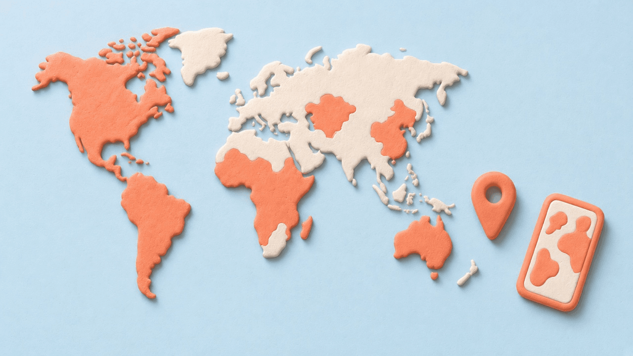
Color in every country you've visited
A countries visited map is a world map where the places you've been are filled in. On paper you color it by hand. In maplog it fills from the trips you already have: your photos know where they were taken, so a scan finds most of your countries in a minute.
You can also tap any country to add it, which is the quickest way for trips without photos.
How to make your map
- Download maplog for iPhone, iPad or Android. You can start without an account.
- Scan your photo library, or choose photos yourself. maplog reads only each photo's location tag and date, on your phone.
- Review what it found. Keep or skip each country; airport-only stops start unchecked.
- Tap any country the scan missed, then share your map as a story or square card.
Count the countries your way
Not everyone counts the same way. Pick the list maplog counts against: the 193 UN members, members plus observers, contested places, inhabited territories, England, Scotland and Wales on their own, every territory maplog can draw, or the Travelers' Century Club list with up to 266 places.
See your travel stats
maplog keeps a live count of your countries and continents and how much of the world you've seen. There are 45 badges to earn along the way, and every country has its own page with the photos you took there, shown straight from your library.
Your photos stay on your phone
The scan runs on the device. Your photos, their location tags and your GPS position are never uploaded; what we store is your map. The world map ships inside the app, so it works offline. More in the privacy policy.
Want states and cities too?
maplog pro adds regions such as US states, more than 30,000 cities, a 3D globe and Google Maps Timeline import. It is a one-time purchase, not a subscription. See the US states visited map or maplog pro.
Questions
How do I make a map of the countries I've visited?
Download maplog, then scan your photo library or tap the countries you've been to. maplog reads only the location tag and date of each photo, on your phone, and suggests the countries it finds. You keep or skip each one, and the map fills in.
Is the countries visited map free?
Yes. Countries, photo scans, travel alerts for new countries, badges, stats, backup and sharing are free. maplog pro is an optional one-time purchase that adds cities, regions such as US states, a 3D globe and Google Maps Timeline import.
How many countries are there?
It depends on the list. The UN has 193 member states. Some travelers also count observer states, territories, or the Travelers' Century Club list, which has more than 300 destinations. maplog lets you pick the list it counts against in Settings, from the 193 UN members up to 266 places.
Does it show what percentage of the world I've seen?
Yes. maplog keeps a live count of your countries and continents and shows the share of the world you've visited, based on the country list you picked.
Can I add US states or cities to the same map?
Yes, with maplog pro. Regions such as US states, Canadian provinces and Japanese prefectures, and more than 30,000 cities, go on the same map as your countries.
Start your map today.
Free to download. Your first country in seconds.