

Google Maps Timeline
Bring years of trips in from Maps.
Menu
Explore your map.
A free travel map app for the countries you've visited. Fill your map from Google Maps Timeline, photos, or a tap.
Free to download. No account needed to start.
countries
to fill your map
no signal needed

Your world, mapped.
A map of the places
that made you who you are.
Google Maps Timeline, photos, or a tap. You review every place before it is added.
Bring years of trips in from Maps.
Use location tags from your camera roll.

Review every place before it is added.

No spreadsheets. Just a map of the world and the places you've been.
Tap a country, scan photos, or import Google Maps Timeline with maplog pro. The visited countries map is the point.
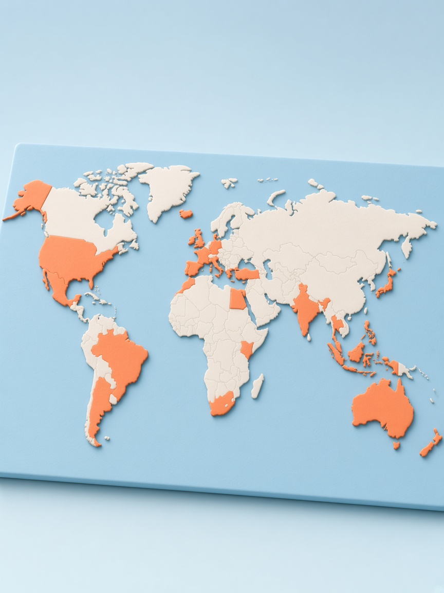
Tap a country and it lights up. Track all 250+ countries and territories on a visited countries map.

States, prefectures, and counties. Drill into the places you actually set foot in.

Stamps, stats, and a live record of the places that made you who you are.
Export a branded map of everywhere you've been, ready to send or print.

Sign in with Apple or Google to back up your map across devices.

Bring trips in, confirm them, then keep going.

Import Google Maps Timeline, scan photos, or tap a country yourself.

Countries fill in as we find them. No spreadsheet required.

Nothing lands on your map until you say so. Keep, skip, or fix any place.

Tap new countries as you go, or let GPS catch them with maplog pro.
maplog pro
US states, regions, a 3D globe, and Google Maps Timeline.
A 3D globe instead of the flat map.
States, prefectures, and a heat-scaled city layer.
Bring years of trips in from Maps, then review every country.
Get notified when you cross into a new country.

Export your map as a high-res printable poster.
No cap on how many custom lists you build.

Everything worth knowing before you start your map.
Yes. maplog is free to mark countries, track stats, and keep a travel passport. Photo import is included. maplog pro is an optional upgrade for Google Maps Timeline import, regions, globe view, GPS auto-tracking, and more.
Import Google Maps Timeline, scan photos with location tags, or tap countries yourself. You review every place before it is added.
In Google Maps, export Timeline data, then pick it in maplog. We read place visits on your phone. Nothing is uploaded, and you review every country before it lands on the map.
If you allow photo access, maplog reads location and date metadata to suggest places you've been. You review every place before it is added. Your photos are not used for advertising.