

Fill it your way
Tap a country, scan photos, or import Google Maps Timeline with maplog pro. The visited countries map is the point.

Menu
Explore your map.
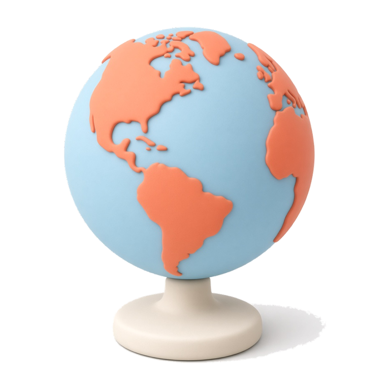
Fill your map from Google Maps Timeline, your photos, or a tap. Track 250+ countries, keep a travel passport, and take it offline.
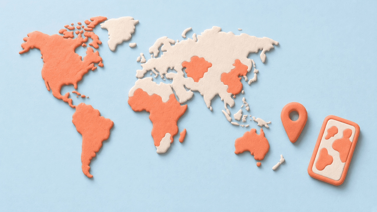
No spreadsheets. Just a map of the world and the places you've been.
Tap a country, scan photos, or import Google Maps Timeline with maplog pro. The visited countries map is the point.
Tap a country and it lights up. Track all 250+ countries and territories on a visited countries map.

States, prefectures, and counties. Drill into the places you actually set foot in.

Stamps, stats, and a live record of the places that made you who you are.

Export a branded map of everywhere you've been, ready to send or print.

Sign in with Apple or Google to back up your map across devices.

Bring years of trips in from Maps. We read place visits on your phone, and you review every country before it lands on the map. Available with maplog pro.
Allow photo access once. maplog reads location and date metadata, then suggests countries. You review every place before it is added.